

Terrain Radar Altimeter app for iPhone and iPad
Developer: Nestele Engineering
First release : 16 Nov 2012
App size: 21 Mb
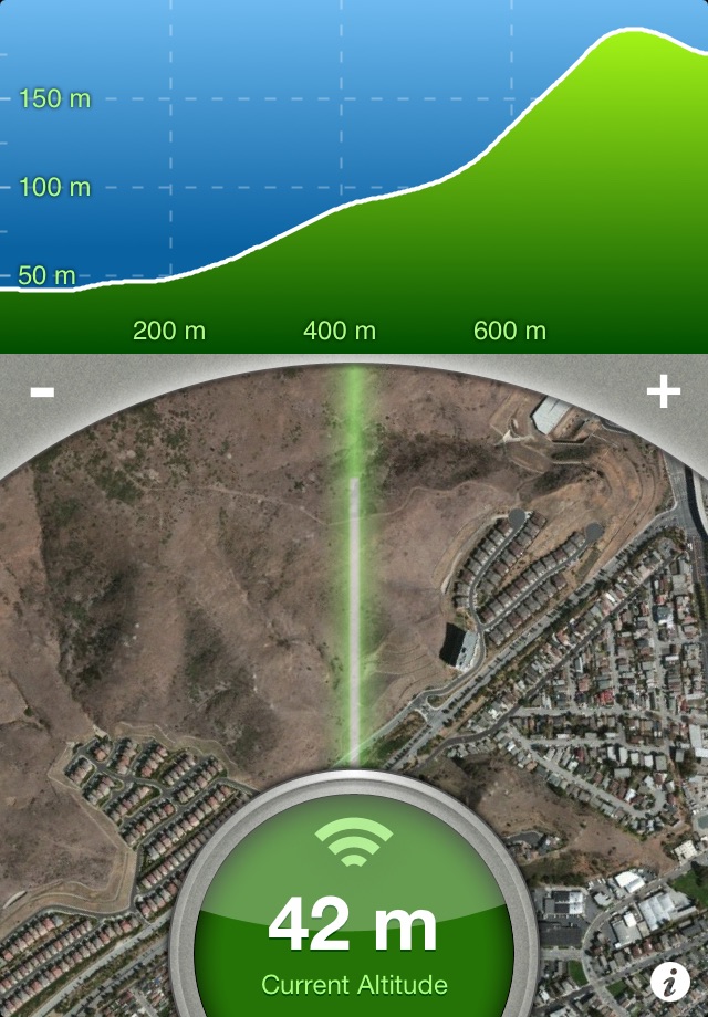
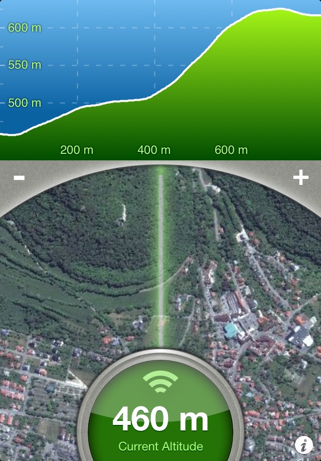
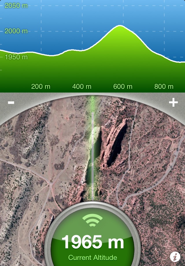
Measure the elevation of each location within a radius of 500 meter. With Terrain Radar Altimeter you can discover the height of hills in front of you or take a look at further away mountains. The unique combination of device sensors and internet-based geo informations makes Terrain Radar to the best altimeter app in the store.
FEATURES:
• High accuracy digital elevation model
• Range up to 500 meter (1600 ft)
• Calculation of altitudes in real time
• Precise elevation chart
• Display in meter or feet
The altitudes are calculated through online services, based on your GPS position and compass direction.
Whether biking, hiking or walking - with this altimeter app every trip is a journey of discovery!
Latest reviews of Terrain Radar Altimeter app for iPhone and iPad
Interesting to use.
this is a good app .
Great to navigate through the bush and know whats on the other side.
Very limited view. To increase distance have to buy another app.
Above sea level terrain is good on graph.